Papers, Media, and Presentations
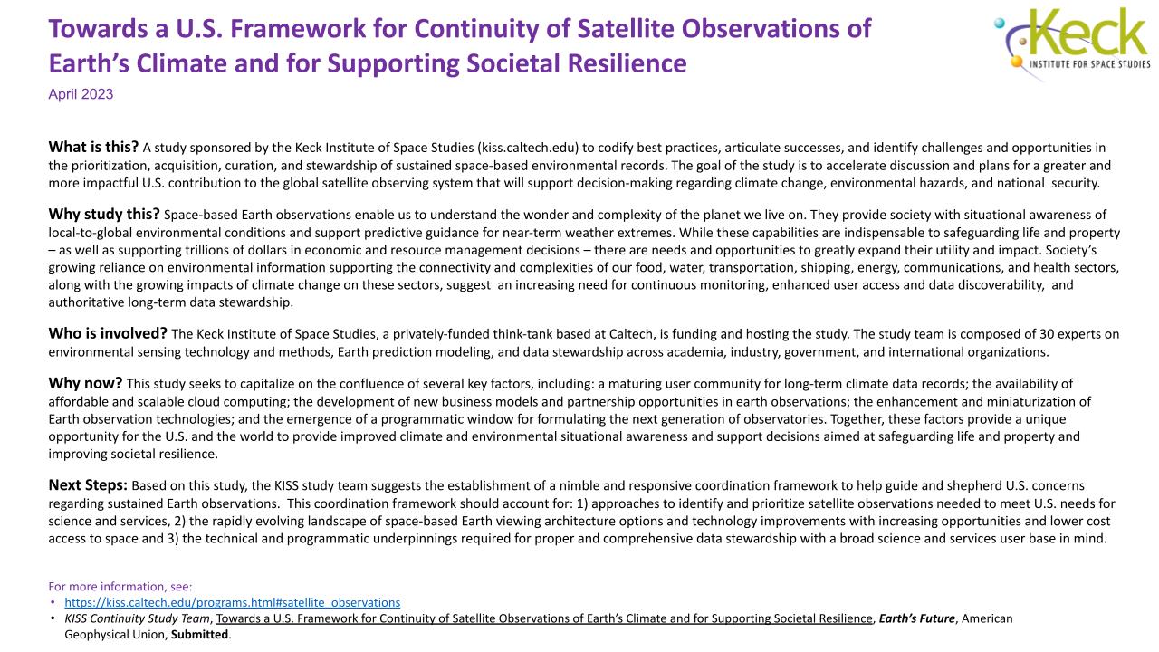
Developing a Continuity Framework for Satellite Observations of Climate
Paper:
- KISS Continuity Study Team (2024). Towards a US framework for continuity of satellite observations of Earth’s climate and for supporting societal resilience, Earth's Future, 12, e2023EF003757. https://doi.org/10.1029/2023EF003757. PDF
Presentations:
- AGU Fall Meeting. Oral session and poster session - copy of KISS Study poster (PDF). December 14 - 15, 2023.
- NASEM Committee on Earth Science and Applications from Space (CESAS) ; presentation slides (available as PPTX file or PDF) ; meeting agenda (PDF). November 29, 2023.
- NASEM Earth Science and Applications from Space Decadal Survey: Mid-term Review Committee; presentation slides (available as PPTX file or PDF) ; meeting agenda (PDF). November 2, 2023.
- Presentation to Volz/NESDIS, St. Germain et al./NASA, and Newman/USGS; presentation slides (available as PPTX file or PDF). October 25, 2023.
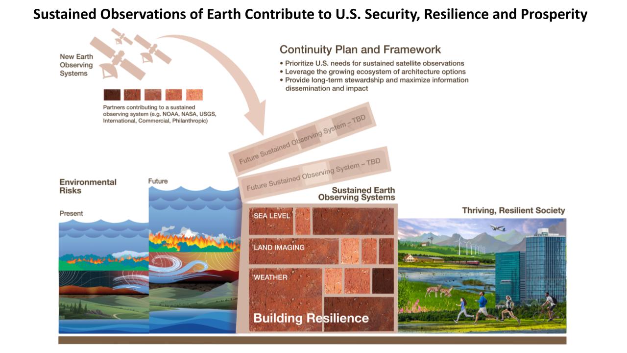
KISS Continuity Study summary schematic:
The KISS Study suggests the need for developing a Continuity Plan and Framework for the U.S. that would account for the three items in the bulletized list.
The bricks (middle) labeled sea level, land imaging, and weather represent current, sustained satellite observations that are used to monitor a variety of environmental conditions and risks. These sustained observing systems are typically composed of a mix of commitments and contributions from national agencies (e.g. NOAA, NASA, USGS), and international and commercial partners (indicated by legend in upper portion). These sustained observing systems (middle) enable decision-support products and services designed to protect life and property, guide climate change action, support economic prosperity and inform national security interests (right). Given the upward trend associated with many environmental risks (left; e.g. sea level rise, wildfire, flood/drought, extreme heat, storms/wind) and the increases in life, property and infrastructure subject to impact from these risks (right), there is benefit to establishing additional sustained observing systems (i.e. the bricks labeled TBD) to further our resilience against those growing risks.


