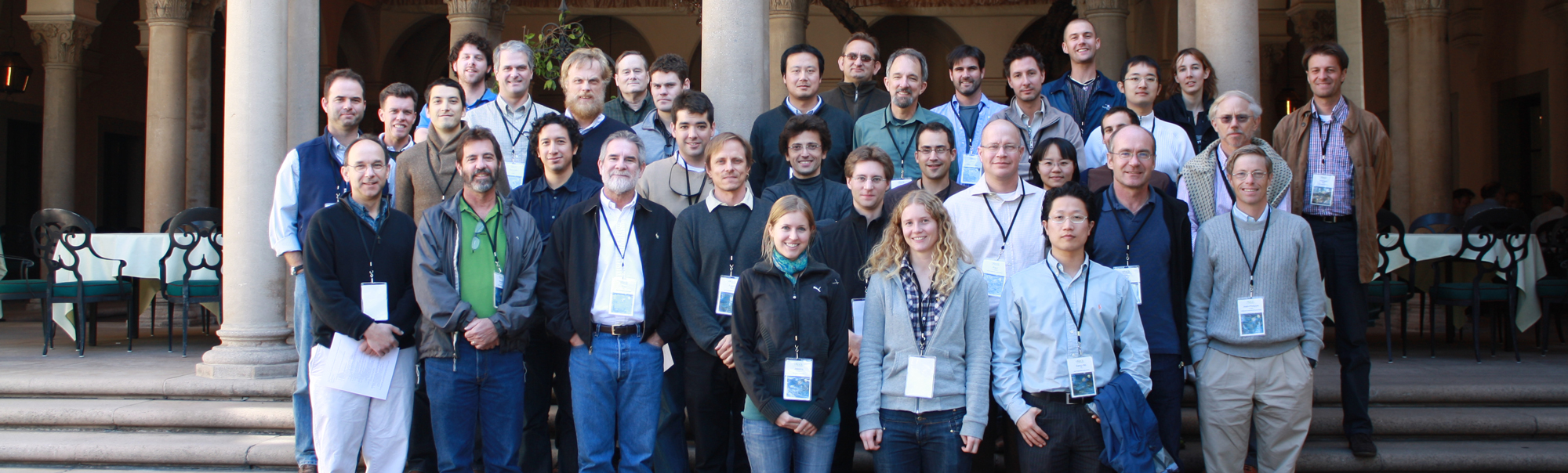
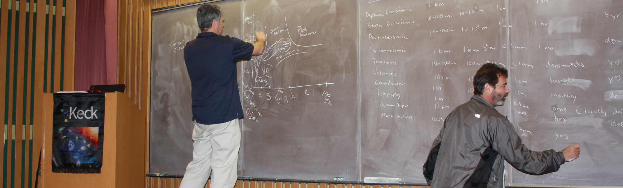
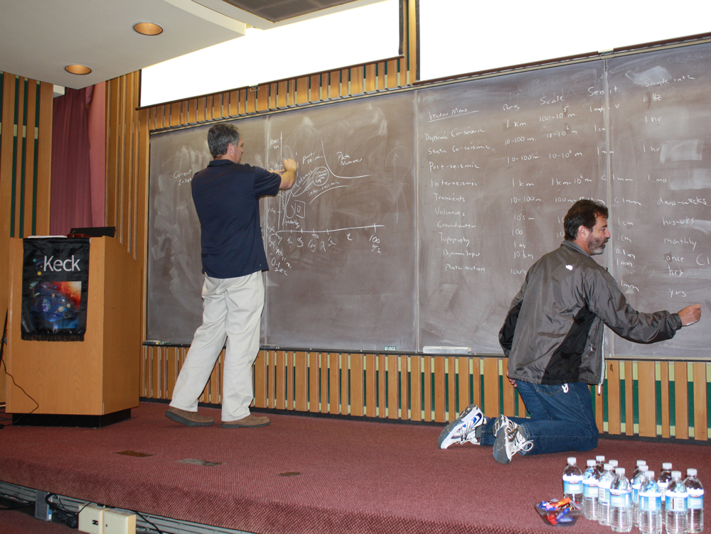
KECK INSTITUTE FOR SPACE STUDIES


Monitoring Earth Surface Changes from Space

October 28-30, 2009
California Institute of Technology - Pasadena, CA 91125

Final Report

Workshop Overview:

The objective of this study is to imagine remote sensing systems and processing techniques that will produce observations (Optical, SAR, or Lidar) with optimal spatial and temporal coverage, ground resolution and registration accuracy to measure deformation and surface changes that are relevant to investigate the internal and external dynamics of Earth and potentially other planets. We will evaluate the technical challenges and explore possible solutions to achieve these goals both at the level of the sensor and of the data processing. Indeed, our experience using data from existing systems shows that simple modifications of currently used technologies could lead to major improvement of the registration quality, for example with appropriate distribution of the CCDs in the focal plane of an optical system. Exploitation of new spaceborne digital hardware capabilities is also driving innovation in radar designs, redefining what is possible for future missions in terms of coverage and accuracy.

As a result, there is a broad range of ways this study will impact future missions. We could come up with specifications for dedicated systems and better way of integrating and exploiting a wide range of data from future Earth Observing missions.

Workshop Participants:

  • Jean-Paul Ampuero - Caltech
  • Jean-Philippe Avouac - Caltech
  • Sylvain Barbot - Scripps Oceanography
  • Harsha Bhat - USC/Caltech
  • Renaud Binet - Commissariat a l'Energie Atomique Laboratoire
  • Bodo Bookhagen - UC Santa Barbara
  • Nathan Bridges - Applied Physics Laboratory
  • Rich Briggs - USGS
  • Oscar P Bruno - Caltech
  • Risheng Chu - Caltech
  • William Cottingame - NGAS
  • Bob Crippen - JPL
  • William Dietrich - UC Berkeley
  • Jennifer Dooley - JPL
  • Tom G Farr - JPL
  • Eric Fielding - JPL
  • Vahe Gabuchian - Caltech
  • Torborg Haug - University of Oslo
  • Don Helmberger - Caltech
  • James Hollingsworth - Caltech
  • Ken Hudnut - U. S. Geological Survey
  • Andreas Kaab - University of Oslo
  • Lionel Keene - Caltech
  • Mike Lamb - Caltech
  • Nadia Lapusta - Caltech
  • Sebastien Leprince - Caltech
  • Nina Lin - Caltech
  • Zhen Liu - JPL
  • Paul Lundgren - JPL
  • Ben Mackey - University of Oregon
  • Michael Mello - Caltech
  • Remi Michel - French Atomic Commission Headquarters
  • Alina Moussessian - JPL
  • Francisco Ortega Culaciati - Caltech
  • Gilles Peltzer - UCLA
  • Paul Rosen - JPL
  • Joel Scheingross - Caltech
  • Mark Simons - Caltech
  • Mark Stalzer - Caltech
  • Marion Thomas - Caltech
  • Jessica Thompson - UC Santa Barbara
  • Slawek Tulaczyk - UC Santa Cruz
  • Frank Webb - JPL
  • Sang-Ho Yun - JPL
  • Howard A Zebker - Stanford University

Workshop Presentations

Jean-Philippe Avouac,
Paul Rose

Introduction to the workshop, presentation of the project's goals
(.pdf)

Cryosphere/Glaciology

Bodo Bookhagen

Towards a hydrologic budget for mountainous regions: relative influence of critical climatic parameters
(.pdf)

Andreas Kääb

Mountain Glaciers - indicators, resources, hazards
(.pdf)

Slawek Tulaczyk

Monitoring of Polar Ice Response to Climate Change
(.pdf)

Geomorphology

Nathan Bridges

Monitoring Aeolian and Other Surface Changes on Mars and Other Planetary Bodies
(.pdf)

William Dietrich

Monitoring of Geomorphic processes: fluvial geomorphology, continental erosion
(.pdf)

Tectonics & Seismology

Jean-Paul Ampuero

Challenges in earthquake physics and source imaging
(.pdf)

Nadia Lapusta

Challenges in earthquake physics and source imaging
(.pdf)

Paul Lundgren

Future directions in volcano remote sensing
(.pdf)

SAR/InSAR Techniques, Applications and Perspectives

Paul Rosen

Radar Measurements for Earth Surface Change
(.pdf)

Howard Zebker

High-resolution temporal imaging of crustal deformation using InSAR
(.pdf)

Optical Techniques, Applications and Perspectives

Renaud Binet

Potential of very high resolution satellites for geometric change detection
(.pdf)
(video)

Sebastien Leprince

Measuring ground deformation using optical imagery
(.pdf)

Remi Michel

Geostationary Observation of Surface Changes: Potential and limits of Optics
(.pdf)

Lidar Imaging

Kenneth Hudnut

LiDAR sensor and system capabilities and issues
(.pdf)

Hyperspectral

Rodolphe Marion
presented by Remi Michel

Geophysical Signals in Hyperspectral Imagery
(.pdf)

High Performance Computing and handling of large dataset

Mark Stalzer

Engineering the Data Processing Pipeline
(.pdf)

Terrestrial Ladar

William Cottingame

Defining the Future
(.pdf)
(video)