


Workshop Overview:
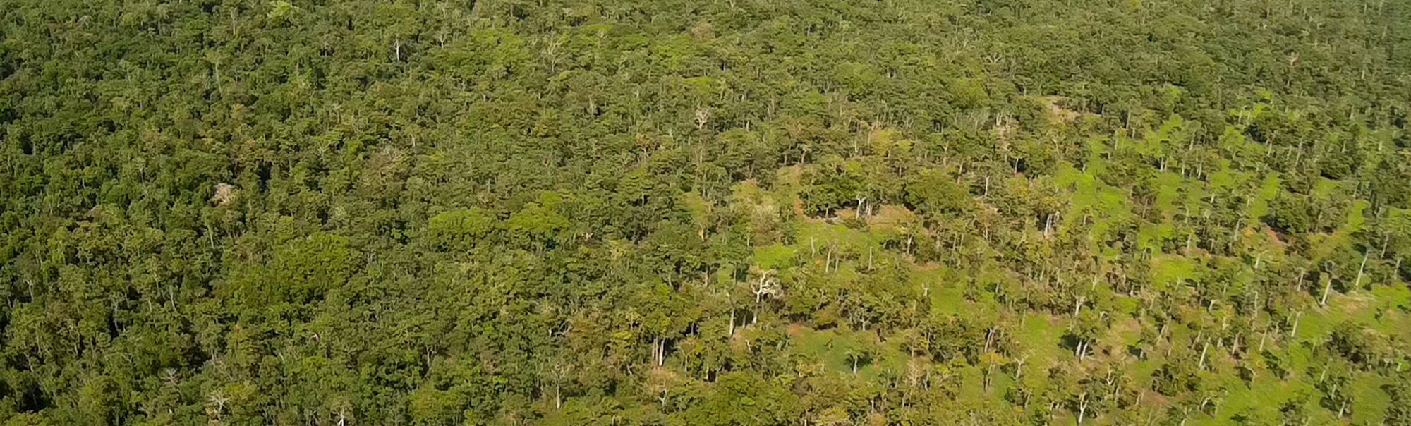
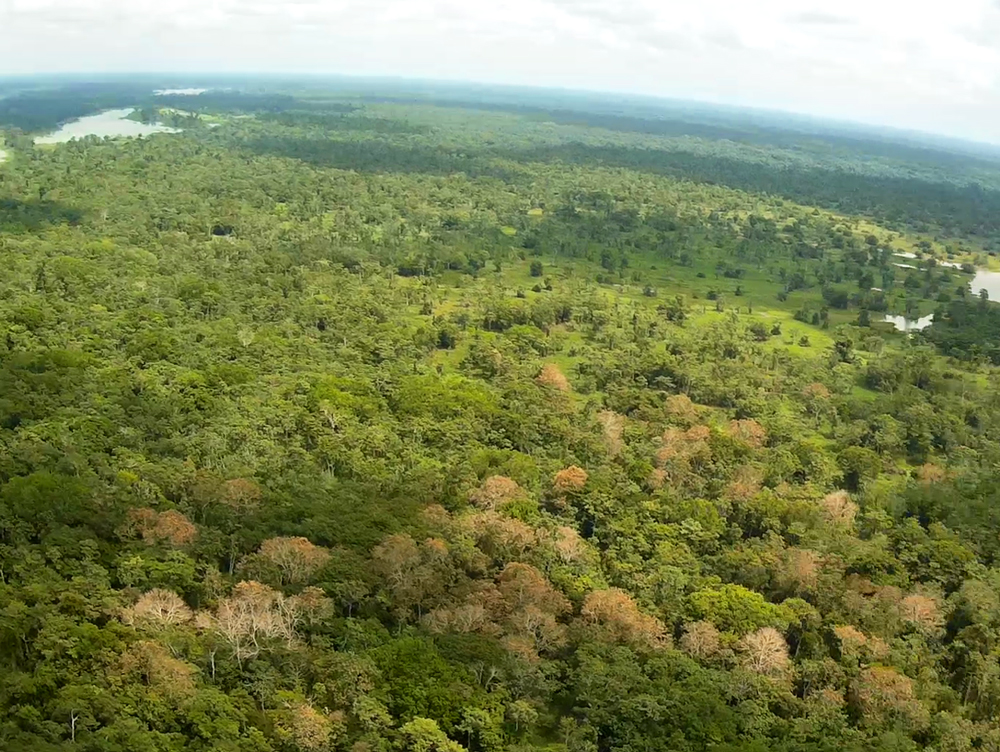
The first workshop of the KISS study program “Unlocking a New Era in Biodiversity Science: Linking Integrated Space Based and In-Situ Observations” was held October 1-5, 2018, at the Keck Institute on the Caltech campus. The workshop was attended by 32 scientists, engineers and technologists. A series of short courses on biodiversity and remote sensing were presented to establish a baseline of common knowledge among participants coming from different fields. During this first workshop, discussions included NASA and NSF programmatic goals relevant to biodiversity, opportunities afforded by new and planned remote sensing missions, and new measurements, biodiversity issues associated with various levels of organization, and current capabilities associated with in situ collections from station networks and field collections. The attendees articulated a need for discovery science that would explore and develop capabilities associated with integrating in situ biodiversity data with datasets from existing and planned remote sensing missions and various types of ancillary collections and models. These discussions culminated in an identified need for implementing a biodiversity monitoring system that would support biodiversity science, integrating disparate airborne and satellite remote sensing datasets, tower data, in situ measurements and field observations consistently across spatial and temporal scales. Flexibility and a range of options in how users interface with remote sensing data were considered as key components of the envisioned system and may drive technology development needs. Such a system would include a ‘sandbox’ that would allow scientists to flexibly apply different models to data streams at different scales and levels of biodiversity organization, facilitating associated discovery science. Towards the end of the meeting, participants began working towards developing ‘case studies’ that could help illustrate aspects of the applications and importance of the biodiversity monitoring system while helping to define associated workflows.
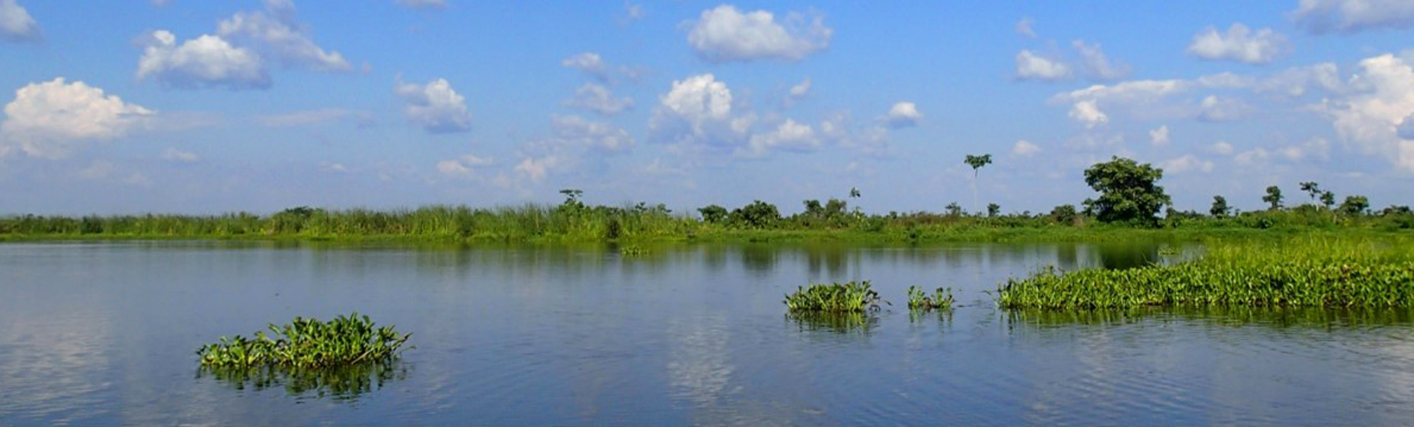
The second workshop is scheduled for the week of March 18, 2019. This workshop will address how the biodiversity and remote sensing communities can work together to implement a biodiversity monitoring system. Our goal is to define an overall architectural construct supporting this vision and its specific components. We will identify needed technological and scientific breakthroughs that may be required and avenues for pursuing those breakthroughs. Going forward, we seek to develop a strategy that will utilize archived, current, and planned remote sensing datasets, including Hyperion, Sentinel-1/2, ECOSTRESS, GEDI, HSUI, and SIF from OCO3, integrated with ground data from stations and field collections, including “supersites” where long-term data collection is well-supported. Integration methods and modeling components that can inform the developing NASA SBG and NISAR flagship missions and ESA’s BIOMASS mission are critical to the discussion, as well as exploring new mission concepts and capabilities. We anticipate pursuing a number of avenues that would support needed technology development and science advancements that enable capabilities of the biodiversity monitoring system. We will define specific case studies and associated workflows wherein we can demonstrate the utility of the mission concept. We will embrace efforts to integrate GEO BON as facilitator.