


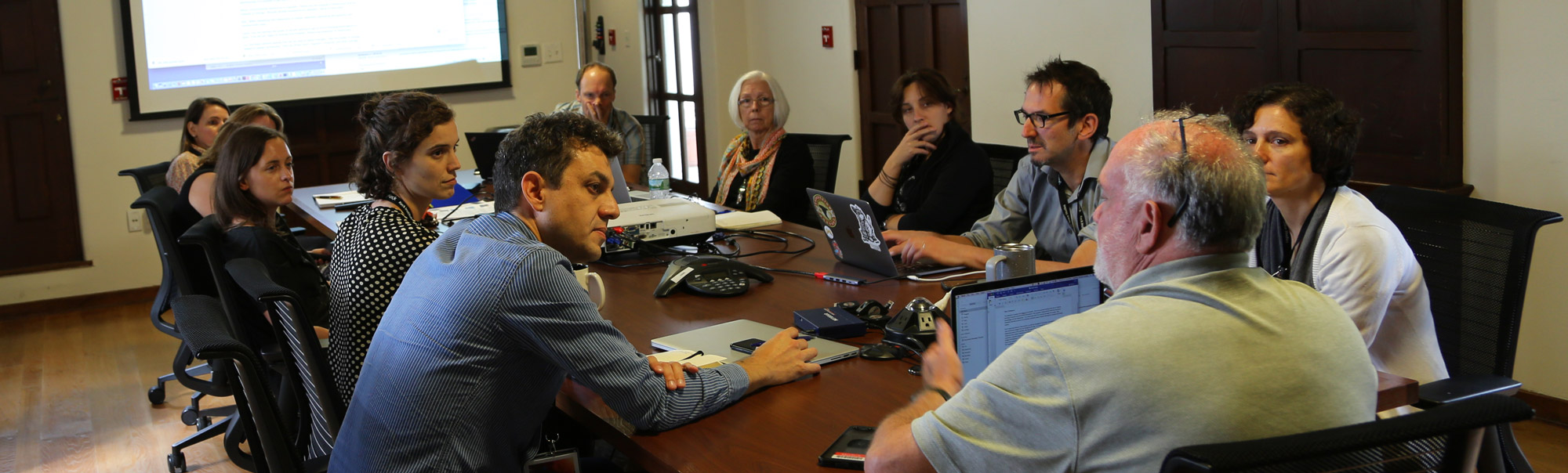


Workshop Overview:
Biodiversity loss is a major threat to ecosystem health and to Earth’s life support systems, with human activities causing rapid and widespread loss and shifts in distribution. These changes will have accelerating consequences for human well-being and the flows of carbon, water, nutrients, and energy through the Earth system. Progress in both fundamental biodiversity science and applied conservation efforts has been constrained by limited spatial and temporal availability of biodiversity data. These gaps are largest in areas where biodiversity is greatest and where it may be most threatened, highlighting the need for globally consistent and continuous approaches for assessing changes in biodiversity.
Progress in advancing biodiversity science globally and in developing consistent approaches for assessing biodiversity change demands integrating findings across temporal, spatial and biological scales and linking knowledge across many fields. Yet most biodiversity studies and initiatives to date have been limited in spatial or temporal scope and largely grounded in the biological sciences only. In contrast, efforts emphasizing use of remote sensing data sources make limited use of cross-sensor fusion and tend not to integrate with the large stores of wide-ranging, ground-based data collections housed at museums and other institutes. Currently, there is no global, harmonized observation system for delivering regular, timely data on biodiversity status and change. Hence the biodiversity science community would be fundamentally revolutionized by the development of a capability to continuously monitor biodiversity through integrated remote sensing and ground-based approaches, including the use of key traits (Essential Biodiversity Variables-EBVs) across the globe.
The focus of this study program is to advance progress towards the development of a global biodiversity observation system that couples space-based and ground-based approaches to quantifying biodiversity, to identify gaps in biodiversity traits and EBVs, and to explore how the fusion of diverse remote sensing measurements can contribute to monitoring biodiversity change. At this unique time point when NASA and international partners are on the verge of launching a series of new missions, the study program provides the opportunity to inform development and planning of Earth science missions that can contribute to the maturation of imaging spectroscopy, imaging radar, vegetation canopy LIDAR, and other developing remote sensing technologies to advance biodiversity science. The goal is to develop a roadmap to establish an integrated global biodiversity monitoring system that enlists advancing spaceborne remote sensing technological capabilities together with ever-increasing ground-based in situ data collections and field observations. This program will initiate a new era in biodiversity science, supporting characterization and monitoring globally of biological variation across spatial, temporal and biological scales.